

3DNSEW (Pronouced; 3-D-N-SEW) meaning 3D=3 Dimensions (Aerial, Ground &
Underwater) NSEW=North, South, East & West

SERVICES
AERIAL, GROUND & UNDERWATER DRONES / UAS, 4K ULTRA HD, COMMERCIALS,
DOCUMENTARIES, ADVERTISEMENTS, MAPPING, SURVEYING, PHOTOGRAMMETRY,
FLIR, RTK, GPR, LIDAR, KIOSKS, POWER POINTS, UNDERWATER, SONAR, REAL ESTATE,
PROPERTY INSPECTIONS, PHOTOGRAPHY, VIDEOGRAPHY, VIDEO & PHOTO EDITING,
CONTRACTING CONSULTING & PROJECT MANAGEMENT, CROP COUNTS
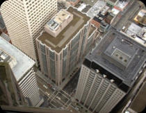
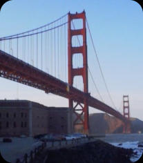
FROM THE TOP OF SAN
FRANCISCO
AMERICAN STEAM ERA
TRAINS &
TRANSPORTATION


CALIFORNIA’S GOLD
TENNESSEE GUIDING
LIGHT
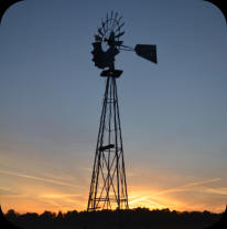
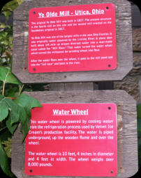
OHIO AMISH
COUNTRY

ALL RIGHTS RESERVED. CONTENT COPYWRITE PROTECTED..
3DNSEW.COM IS OWNED AND OPERATED BY PATRIOT CABIN COMMUNITY
ARTIFACTS &
ANTIQUITIES
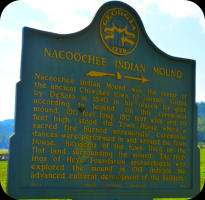
NATIVE AMERICA
& HISTORIC SITES
We also enjoy turning your ideas into realities. We enjoy helping children learn about the world through
hi-tech and other solutions. Giving them an understanding of what most people never discover until
they are in college. From Miniature Electronic Microscopes to robots and remote control, nature and
wild animals. Preservation, prevention and recovery. We turn learning into adventures that spark
young minds and fills their curiousity with direction and purpose.
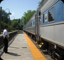
RIDING THE RAILS
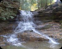
OHIO WATERFALLS
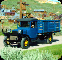
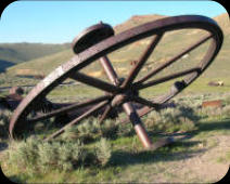
GHOST TOWNS OF
AMERICA
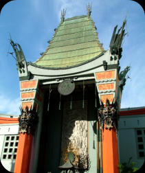
TO HOLLYWOOD & BACK

Drones
are
used
to
perform
crop
counts,
locate
wet/dry
spots,
pinpoint
locations
were
pests,
pesticides,
herbicides,
fertilizers
and
other
attention
is
needed
without
using
an
airplane
or
tearing
driving
through
crops
for
farmers.
Locating
sink
hole,
rocks
and
other
obstructions,
and
even
conduct
visual
observation
to
determine
maintenance
issues
and
inventory
tracking.
Have
a
maintenance
issue
and
need
someone
to
take
a
look
but
it
is
too
dangerous to have a person do it. Drones are the answer.
HISTORICAL

EDUCATION & CULTURAL
ALL PROJECTS (LARGE OR SMALL) WE DO THEM ALL

PRE-HISTORICAL
BRIDGES, RR TRACKS
& ROADWAYS
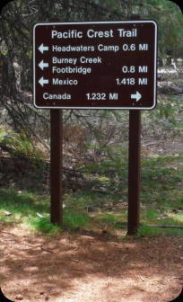
TRAILS, WALKWAYS
& BOARDWALKS
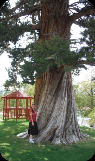
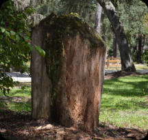
1000 YEAR OLD
TREE


UNDERWATER: We do UNDERWATER DRONE SERVICES (UAS) photography and videography that includes;
Imaging, Mapping, Surveying, Hull, Dock & Peer Inspections, Invasive, Erosion, Storm Damage, Accident
Scenes, Disaster Services and Search & Rescue with 4kHD or High Resolution Sonar. In depths up to 98’
and tempertures of 32F through 104F degrees at a distance (by tether of apx 200’) and stay down for
hours at a time.
BUT WE CAN STILL RECORD HIGH RESOLUTION 3D SONAR
UNDERWATER DRONES CAN ONLY SEE AS FAR AS THE EYE CAN SEE
IF IT IS MUDDY OR MERKY IT CAN’T SEE ANYTHING EITHER.
740-208-6114